Sunith Suresh
Related Projects
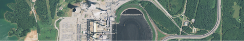
The team built a ground truth dataset comprising satellite images, building footprints, and building heights (LIDAR) of 40,000+ buildings, along with road annotations. This dataset can be used to train computer vision algorithms to determine a building’s volume from an image, and is significant contribution to the broader research community...