Climate+ Projects

Our team is recruiting motivated undergraduates to join a summer Climate+/Data+ project monitoring the restoration of New Hope Creek in the Duke Forest. After nearly a century of disrupted stream flow caused by a low-water bridge and breached stone dam, Duke Forest staff have removed these barriers to restore aquatic...
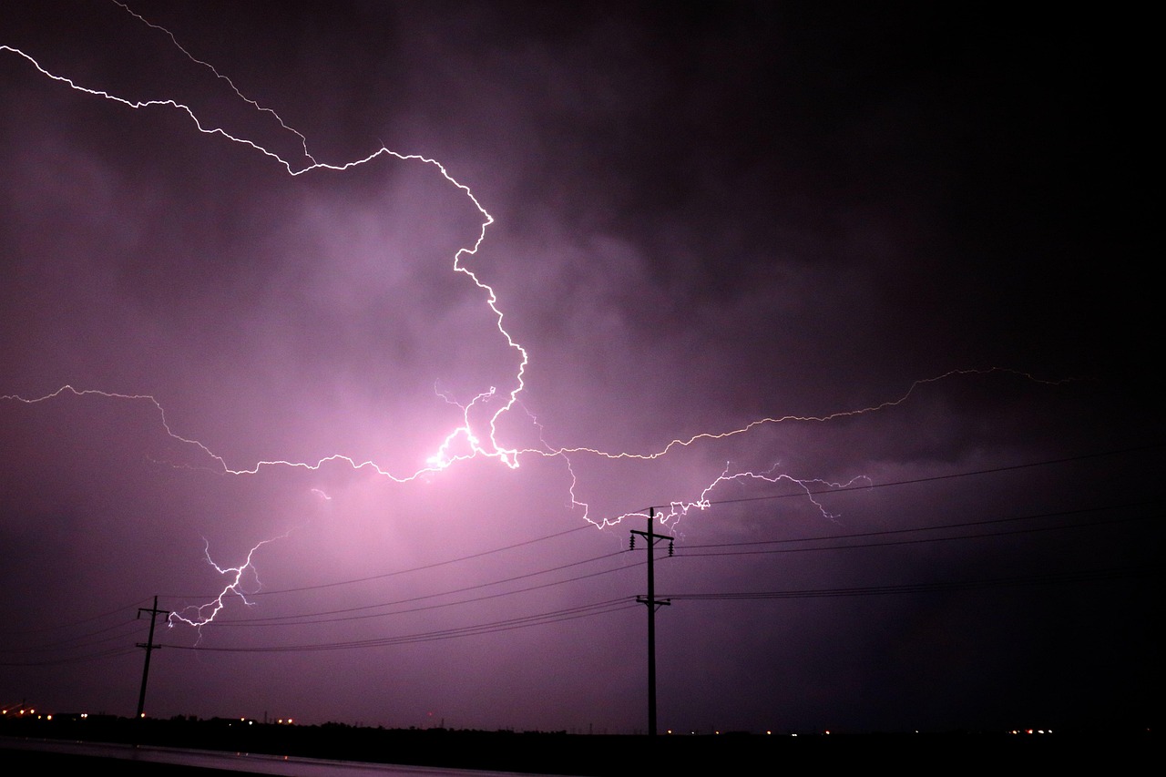
Accurate forecasting of weather variables -including humidity, temperature, dew point, cloud cover, and wind speed and direction- is critical for improving predictions of both renewable energy generation and electricity demand, and for managing emerging challenges associated with the rapid growth of data centers energy needs. In this project, we analyze...
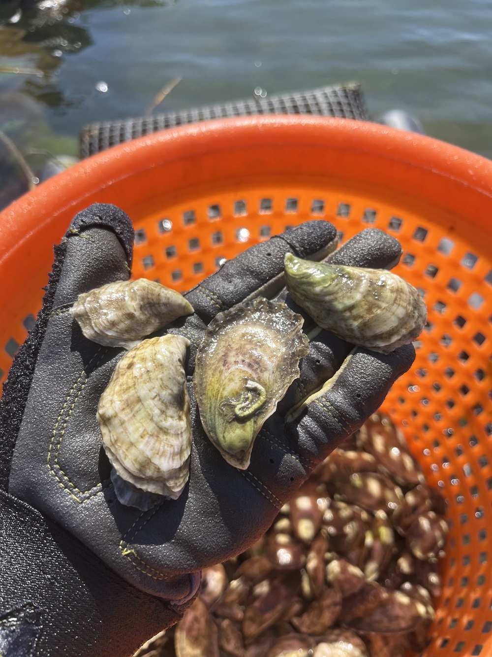
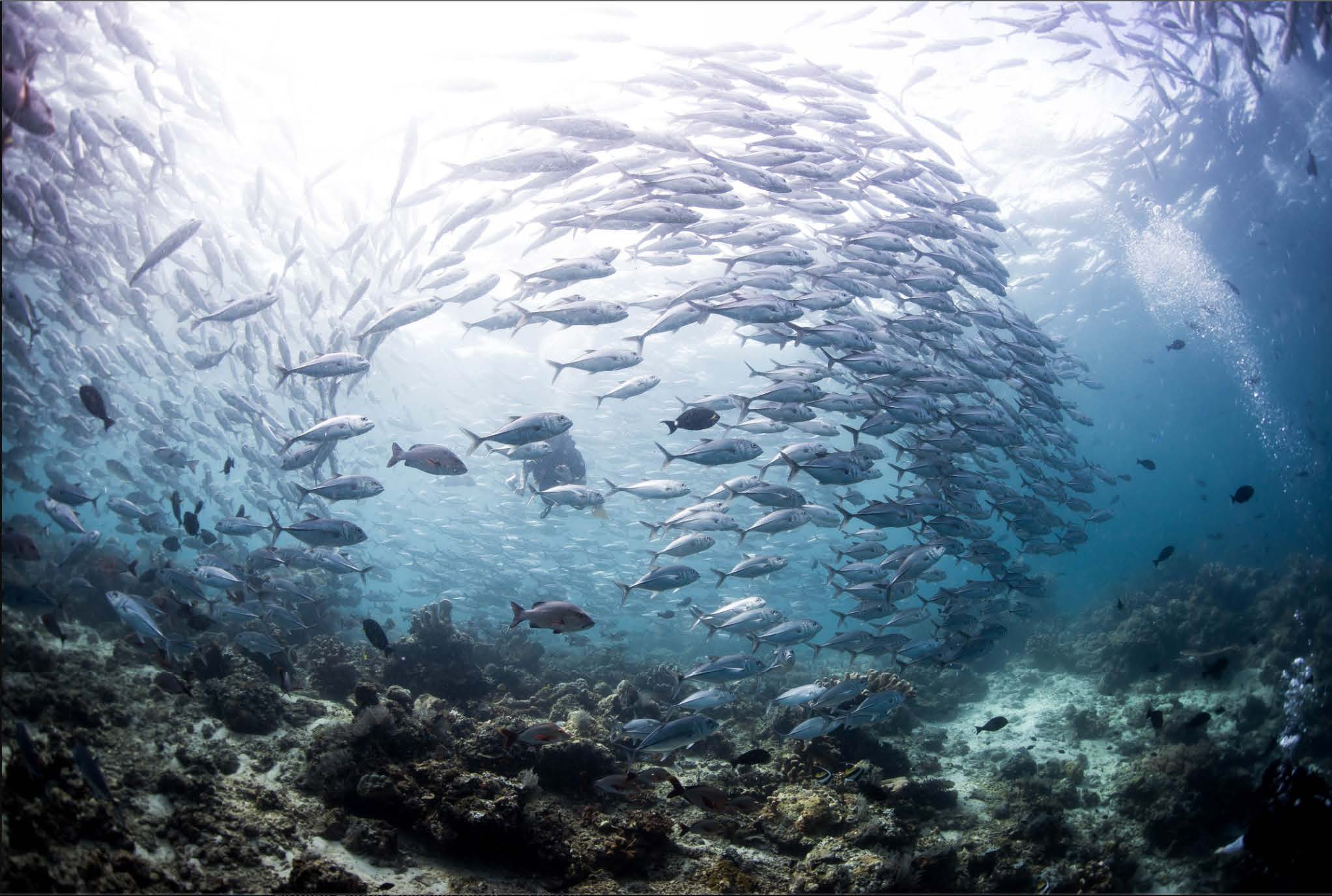
A team of students led by researchers in the Division of Marine Science and Conservation within the Nicholas School of the Environment will explore environmental data collected at North Carolina oyster farms in combination with oyster RNA sequencing data. This project will enhance environmental data and biological samples collected by...

A team of students led by Pratt professor Rachel Beaudoin will develop generalizable models to quantify the greenhouse gas footprint of Durham organizations and to assess the impacts of decarbonization projects. Students will work with a dataset of Durham Public Schools’ historical energy and procurement data to develop a model...
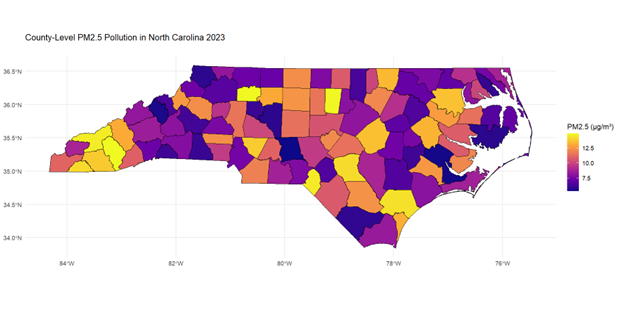
Explore Climate and Health Equity with Duke’s REGAL Lab! Join the Research to Eliminate Global Cancer Disparities (REGAL) Lab at the Duke University School of Medicine for a hands-on research experience on climate and health equity. Students will compile and analyze North Carolina county-level environmental indicators, such as air quality,...
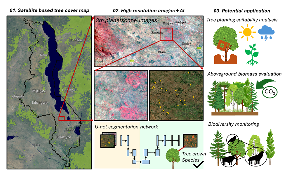
A team of students will combine cutting-edge, high-resolution satellite imagery with a state-of-the-art AI and pattern-recognition framework to improve restoration outcomes across sub-Saharan Africa. Students will map trees both inside forests and across farms and villages using a deep learning model, then link those maps to socioeconomic factors and biophysical...
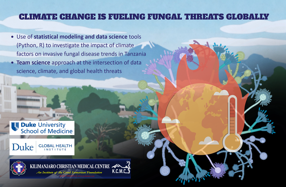
Duke undergraduate students interested in global health or data science along with Drs. Thuy Le and Tom Carpino from the Duke School of Medicine and Duke Global Health Institute, and a group of investigators from the Kilimanjaro Christian Medical Centre in Moshi, Tanzania, will investigate how real-world climate factors impact...
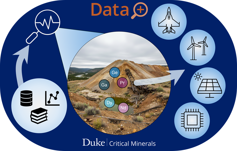
A team of students led by researchers in the Duke University Critical Minerals Hub will use data-driven methods to develop machine learning models that predict critical mineral presence and abundance in mine waste and acid mine drainage. Students will integrate large geological and geochemical datasets, identify key indicators of critical...
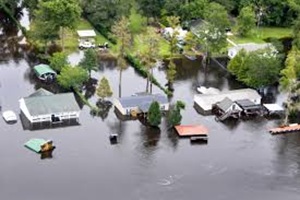
A team of students led by Duke faculty in engineering, economics, and environmental policy will study how investments in flood protection, such as levees, stormwater systems, and nature-based solutions, affect not only flood risk, but also local property values, tax revenues, and community financial resilience. Students will combine climate, economic,...

Students will create accessible, actionable data on climate risks and climate resilience efforts in the Milwaukee River area. By harnessing existing data sources as inputs for hazard modeling, focused on flooding, students will use techniques to account for uncertainties in inputs, providing more accurate and adaptable risk assessments for communities....
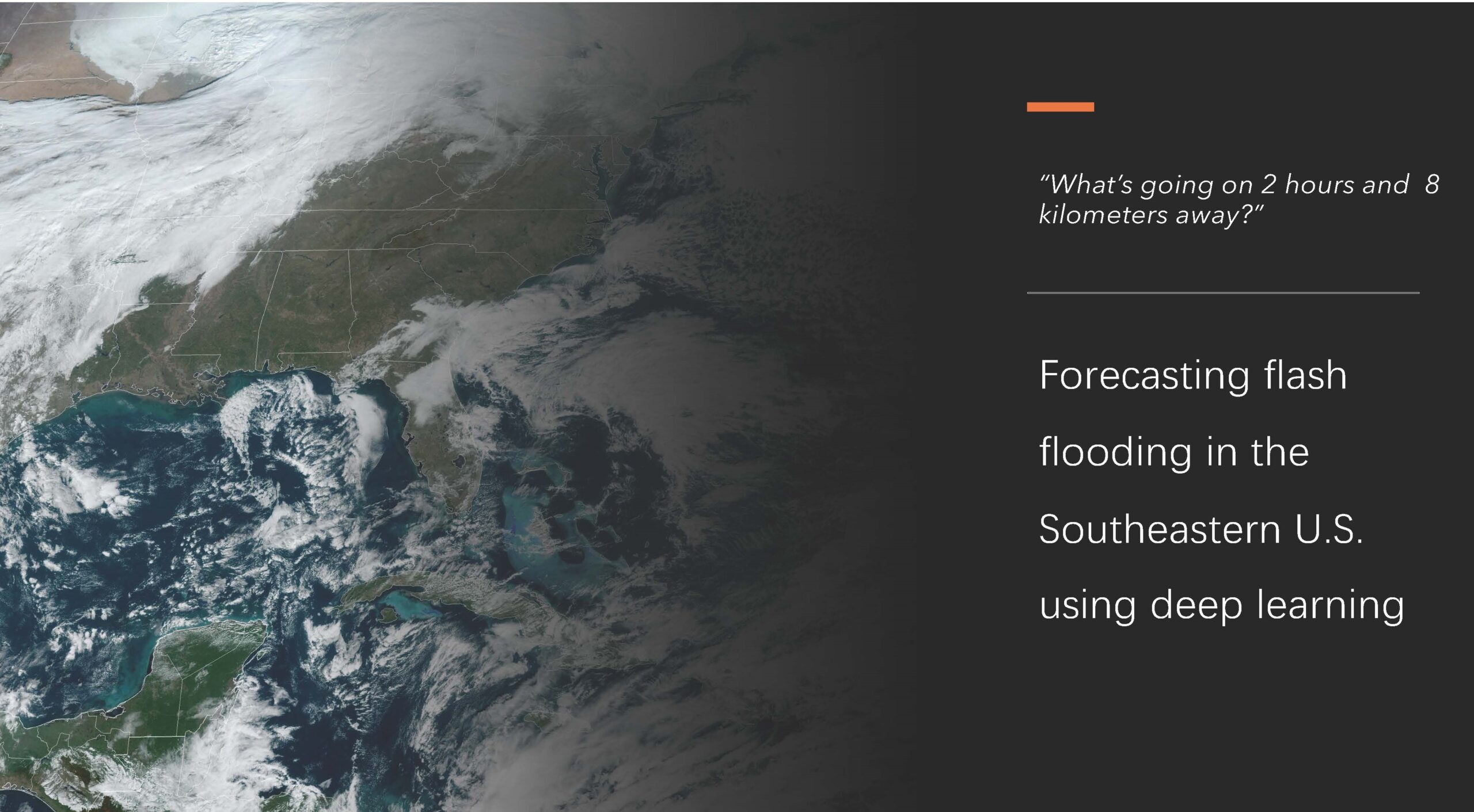
A group of students, guided by climate science and environmental engineering professors, will use deep learning models to enhance flash flood predictions in the Southeastern United States. They will study extreme weather events that contribute to flooding and learn to identify these events using satellite and radar imagery. By applying...

A team of students led by Ph.D. student Yu Wei and assistant professor Tong Qiu from the Spatial Ecology and Environmental Data Sciences (SEEDS) lab will utilize cutting-edge remote sensing technologies—including hyperspectral imagery and airborne Light Detection and Ranging (LiDAR)—combined with an advanced deep learning framework to enhance forest biodiversity...

A team of students, collaborating with Professors Mike Bergin, David Carlson, and PhD Candidate Zach Calhoun developed a modeling approach to estimate heat stress in urban areas. Students will further develop a dataset consisting of high-resolution temperature and relative humidity observations in over 60 cities (https://www.heat.gov/pages/mapping-campaigns), satellite imagery and meteorological...
A team of students, led by Nicholas School professor David Gill and Masters student Sameer Swarup, will develop the first global coastal social-environmental atlas: a high-resolution, interactive data platform that provides social, economic, demographic, and environmental data relevant to climate and ocean science and conservation. Students will synthesize spatial and...

A team of students led by staff from the Duke Office of Climate and Sustainability will explore improvements to Duke University’s greenhouse gas data system. Students will see how the data flows through campus and how it is ultimately used to quantify and report on Duke’s contribution to climate change...
A team of students led by researchers in the Energy Data Analytics Lab and the Sustainable Energy Transitions Initiative will develop a method to evaluate electricity access in developing countries through machine learning techniques applied to aerial imagery data. Students will first improve the accuracy of the solar array identifying...
A team of students led by Hubbard Brook Experimental Forest researchers will develop a machine learning approach to identify aquatic insects and contribute to a long-term ecological dataset being used to examine changing insect population dynamics. Students will use a set of existing images to train a supervised machine learning...

Students will analyze data on climate risk, most likely including flood risk, perhaps a combination of public data, private data, and insurance sector data for pilot communities in North Carolina. They will integrate this data with other local data sets such as critical community infrastructure (schools, hospitals) and provide visualization...

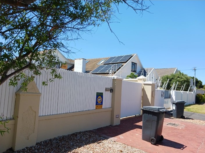
A team of students led by researchers in the Energy Access Project and the Energy Data Analytics Lab will apply machine learning techniques to high resolution aerial imagery data to identify the location of solar panels throughout Cape Town, South Africa. Currently, solar panels are being used by wealthier households...

A team of students led by Duke Forest staff as well as a faculty and postdoc from Duke’s Nicholas School of the Environment will explore, organize, and create visualizations for observation data of reptiles and amphibians—collectively known as “herpetofauna”—in the Duke Forest. This data is directly collected by Duke Forest’s...
Showing 1-20 of 38 results